|
|
|
|
Enhanced Mesh Scenery for CFS2
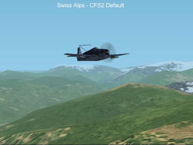
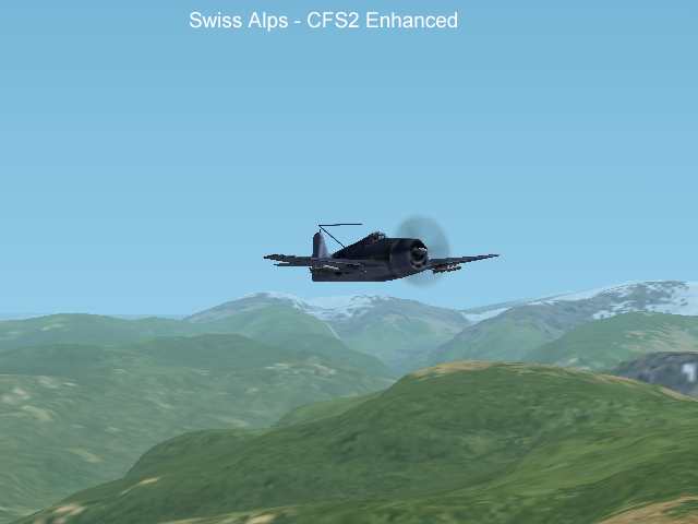
Swiss Alps
These images are VGA resolution 24 bit images so may take a while to all load.
CFS2 uses the same sort of DEM-Based terrain as FS2000. The default resolution for the world outside the Pacific area is 4km so even the GTOPO30 DEM freely available for the whole world offers a noticeable increase in terrain resolution (4x finer). Shown on this page is the effect of applying interpolated 7.5 second DEM data in the Alpine Area of Switzerland. Includes a menu entry for "Alpine Field" - A grass field to get you to the area easily.
Download the example at the bottom of the page.
|
|
|
|