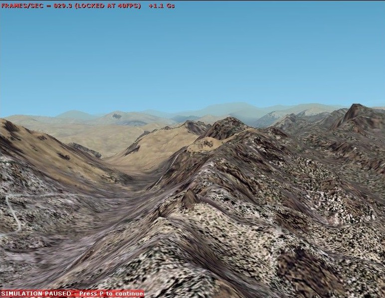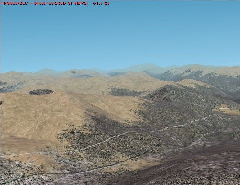
Example of the results possible with the new SRTM data becoming available
This data is available (currently) for North and South America and, apart from some errors caused by the radar-method of collecting the elevation data, is largely on a par with the 3 arcsecond data available for the US from USGS.
The pictures below show the "before" and "after" appearance of a spot in the Andes. The "after" image shows the result of a BGL created with FSTerrain 2002 . Both screenshots were taken with the aircraft in exactly the same location. Simply by pausing FS2002, taking the first shot, activating the new BGL and taking the second shot.